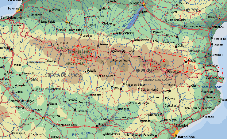
Map Ordessa

Starting in Cauterets we followed the route of walk 3, until Refuge de Baysellance.
Only the sight around the Vignemale was not so good because of fog and
snow. But from the moment we went to the Spanish side and crossed Col de
Bernatoire the sun started shining.
After a rest in Torla we entered the 'Grand Canyon of Europe': Valle de Ordesa.
This is the most impressive canyon in the Pyrenees with steep walls of
1.000 m and beautiful forest. It's a Natural Reserve since 1918, and there
is much to see of the geologic history. The trail climbed to the plain
above, bare landscape like the moon. Here we saw lots of Griffon vultures,
and even some Lammergeiers.
On top of the Monte Perdido (3.355 m) the mountain range of the Cirque de Gavarnie
was right below us.
We visited the Gruta de Casteret. This cave has an floor and stalactites of ice. Then
we passed the famous Brèche de Roland, a breach in the upper ridge
on the border from Spain to France, of 100 m height.
The last part was a nice walk from Gavarnie back tot the Vallée d'Ossoue,
but before we reached the Refuge Baysellance we took the Col de Gentianes
(2.777 m). From there was beautiful views on the Glacier d'Ossoue (below
the Vignemale), the only real glacier in the Pyrenees left. Lac d'Estom
and Valle de Lutour war marvellous, but unfortunately 1,5 day of rain and
fog.
8

Practical route information
By train to Lourdes, further by bus to Cauterets (start) > Pont d'Espagne > Hourquette
d'Ossoue > Col de Bernatoire > Bujaruelo >Torla > Val de Ordesa > Refugio
de Goritz > Monte Perdido > Brèche de Roland > Gavarnie > Vallée
d'Ossoue > Col de Gentianes > Vallée de Lutour > Cauterets (finish).
Length 121 km, average height 1.830 m, hiking days: 12.
The walk is mostly in Natural Reserve area, camping is only permitted near
mountain refuges.
|


